Virginia Department of Transportation and Virginia Capital Trail Foundation
2006-2015
Linear route parallel to Virginia State Highway Route 5 from Shockoe Bottom in downtown Richmond to Jamestown
The Virginia Capital Trail is a 52-mile pathway dedicated to hiking, jogging, cycling, skateboarding and other non-motorized
Land acquisition and construction of the $75 million Capital Trail was paid for primarily with Federal funds ($70 million) with the remainder provided by the state and localities.
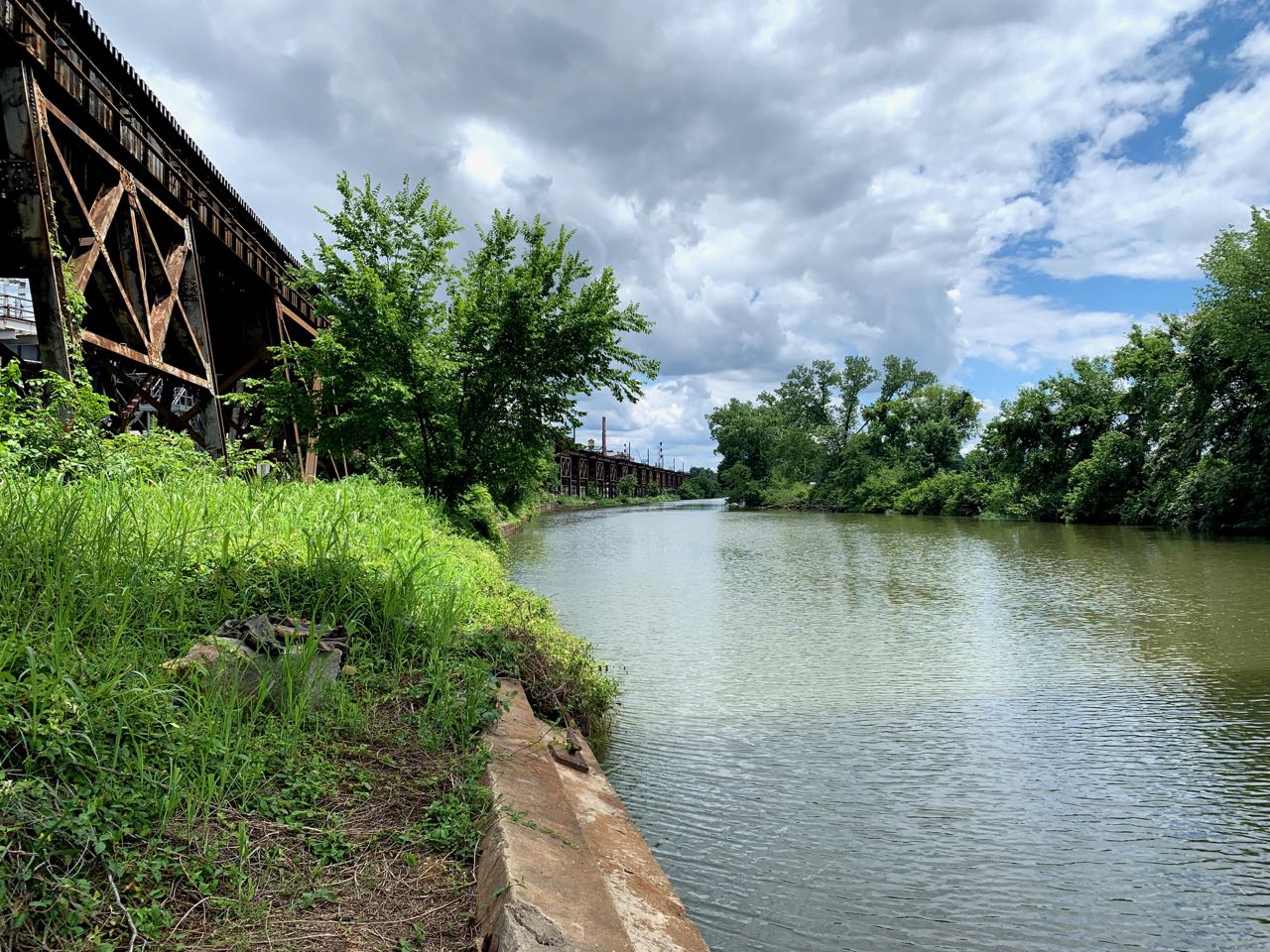
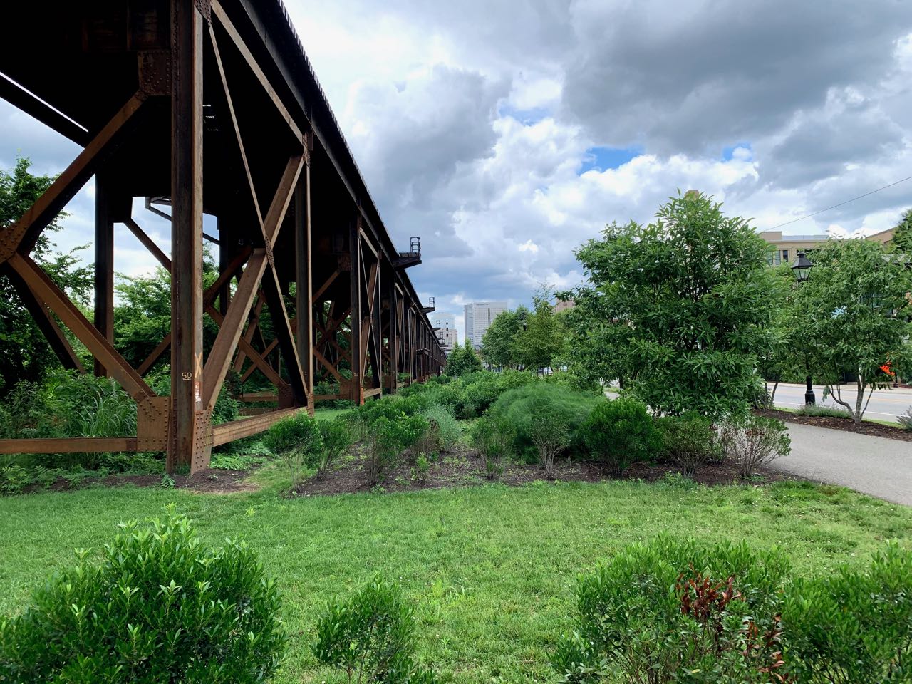
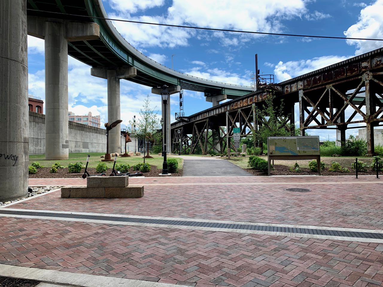
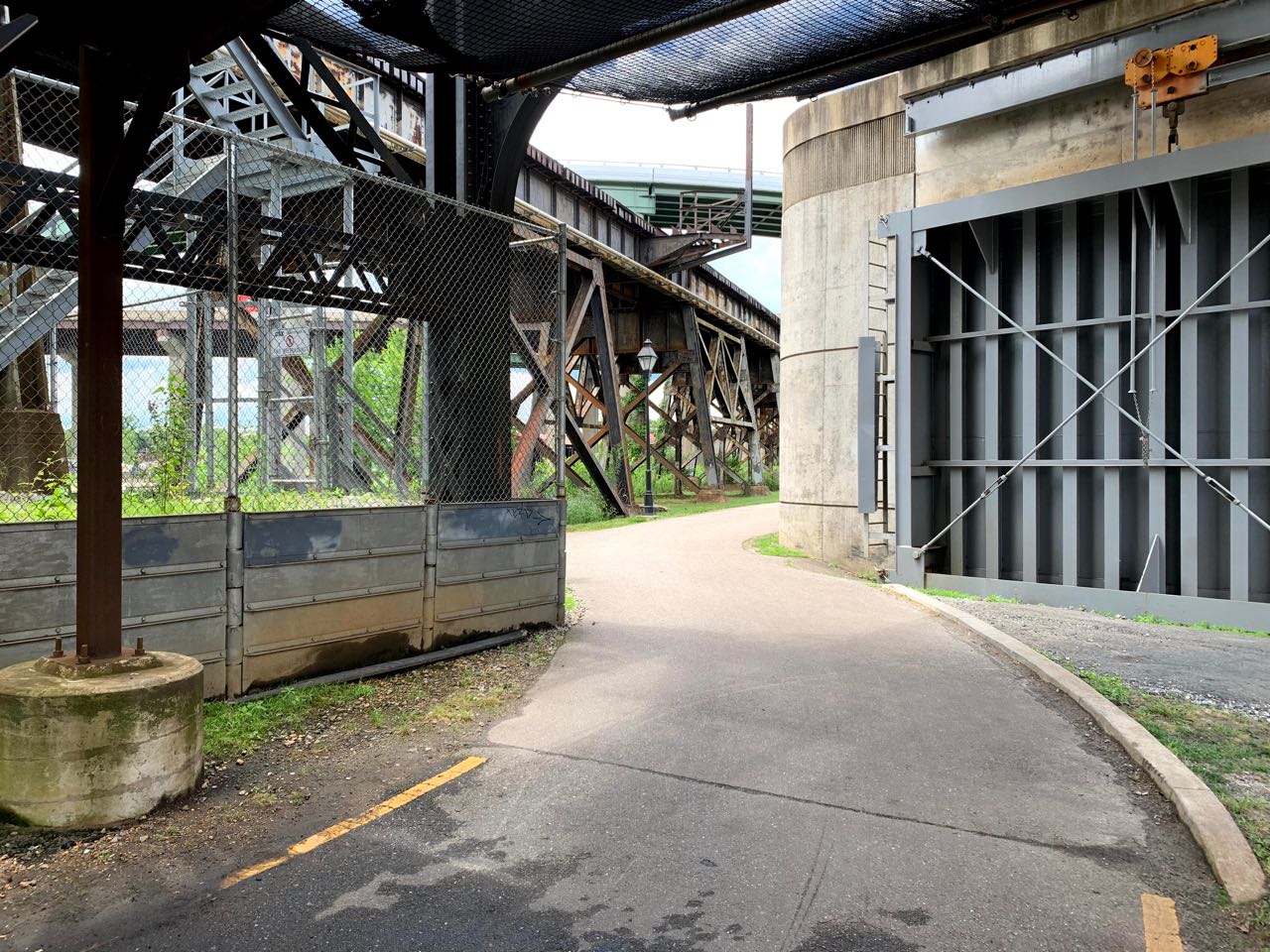
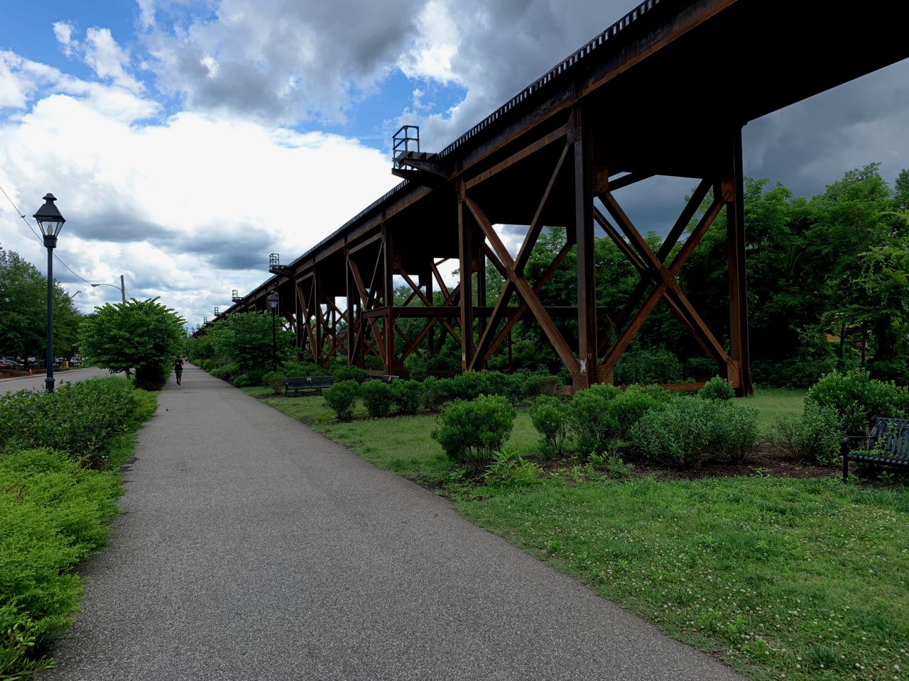
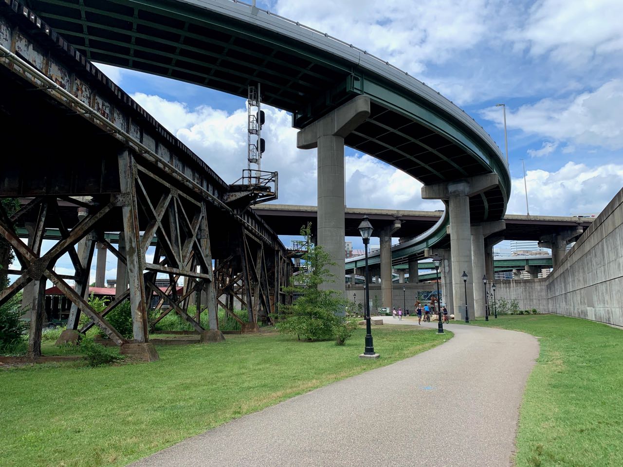
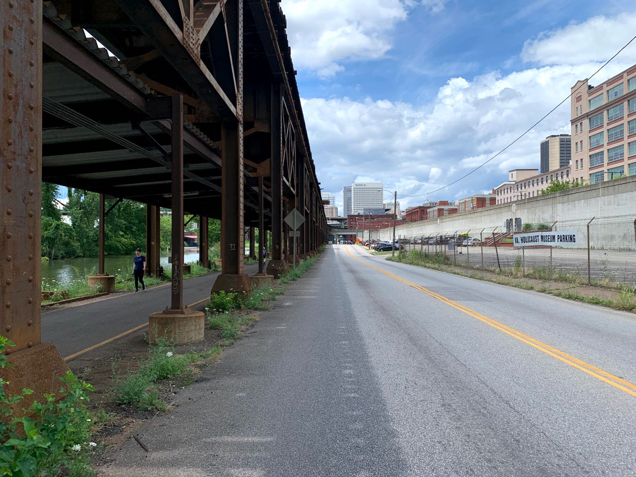
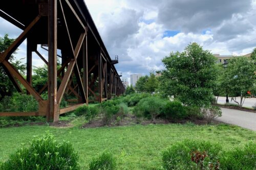
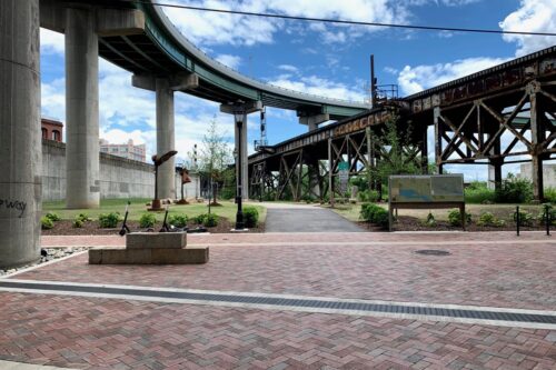
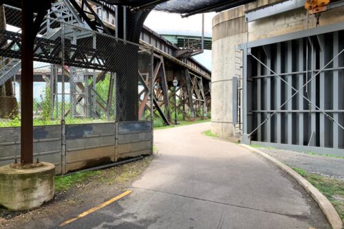
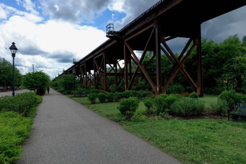
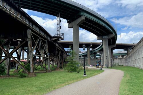
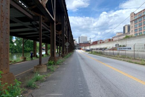
The well-used trail, which passes through the City of Richmond and Henrico, Charles City and James City counties and mostly avoids crossing major roadways, is divided into seven sections. The trailhead section in Richmond has been dubbed the Low Line. Its route hugs the east side of the concrete James River floodwall and the western embankment of the James River & Kanawha Canal. In this section active CSX train tracks run overhead on tracks supported by rusted steel trestles. The latter serve as sculpture-like reminders of the city’s once impressive industrial activity. Former cigarette factories that loom nearby serve as massive reminders of the economic importance of tobacco to the region, as well as how in recent decades Richmond has embraced adaptive reuse as a historic preservation tool. These brick structures now house upscale apartments, corporate offices and restaurants.The Low Line Green is a 1.5 acre stretch of the Low Line that has been landscaped and planted with lush, indigenous vegetation and furnished with comfortable benches. It is a welcome and popular oasis amid the surrounding hardscapes. The Low Line Green is linked to Great Shiplock Park which includes a still-working lock of the historic canal and dense woods.
As the Capital Trail extends eastward beyond downtown Richmond, its physical and architectural character is defined by the various suburban and rural landscapes through which it passes. Entering Henrico County at the Rocketts Landing redevelopment, the path becomes successively more rural through Varina, New Market Heights, Charles City County, Sherwood Forest, Chickahominy Riverfront, and Greensprings sections. Some 30 bridges, all built of wood, cross the creeks, streams and swamplands of picturesque Tidewater Virginia. While the terrain is mostly flat for the entire 52-mile trail, there are rolling hills in Henrico County. Among the glories of traveling this well-planned trailway is that within the course of a few hours one can experience dense forests, open fields, light suburban development and broad vistas of well-tended farmlands.
The trailways’ seven different sections were engineered and landscaped by a number of firms at different times under the guidance and direction of the Virginia Department of Transportation and the not-for-profit Virginia Capital Trail Foundation over the course of almost a decade. However, the entire ribbon is seamless due to the discipline of using a minimum of construction materials and allowing the path to follow the natural lay of the land and flow of the waterways. In the future, state and local officials envision the addition of spurs to link the Virginia Capital Trail with pedestrian and bicycle ways in nearby communities and neighborhoods.
ES

Write a Comment