Architect Unknown
1940s
4 Manchester Road
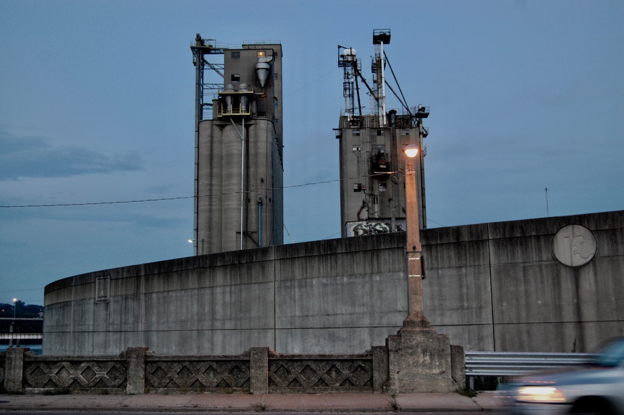
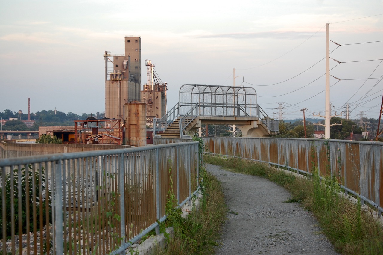
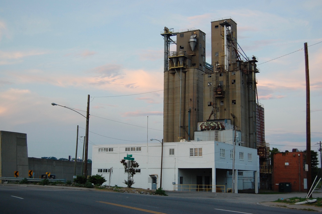
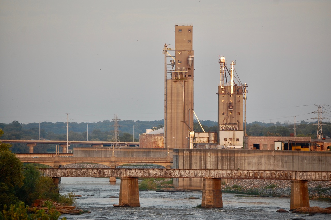
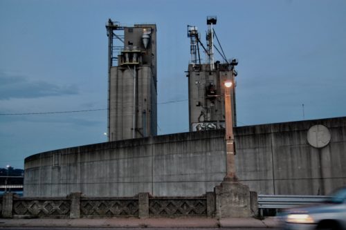
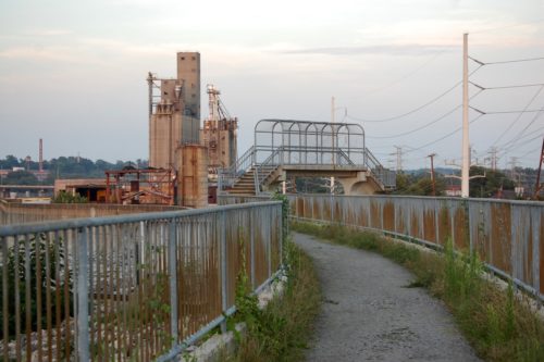
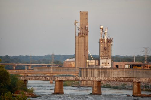
The Southern States Silo stands over the south bank of the James River. It is is located just south of the floodwall near the foot of the Mayo Bridge.
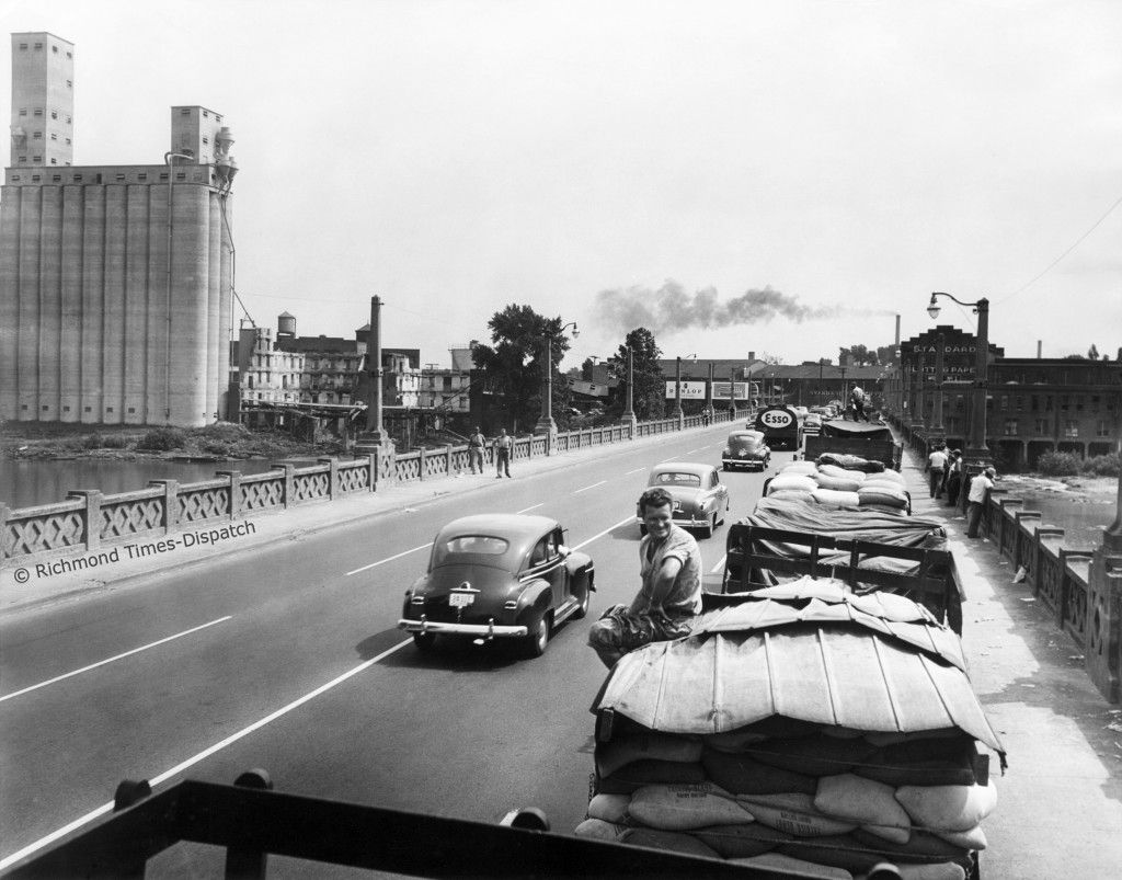
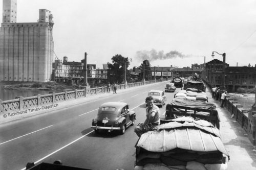
The silo was constructed in the 1940s and a grain elevator for Cargill Incorporated. According to a 1952 Richmond Times-Dispatch article, trucks sometimes lined the Mayo Bridge as they waited to deposit their grain. (1) Southern States, the farming cooperative, later bought the silo and painted the massive sign now well known to Richmonders. It was sold again to Purdue Farms in 2003, but the Southern States moniker remains.
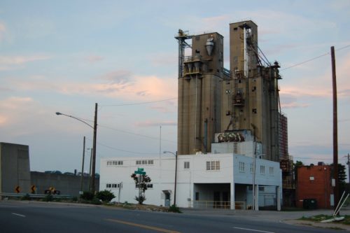
The silo was the site of the 2016 installment of the RVA Street Art Festival, a event that showcases the work of local and international muralists. The base of the silo and other nearby structures served as the canvas for their large-scale works.
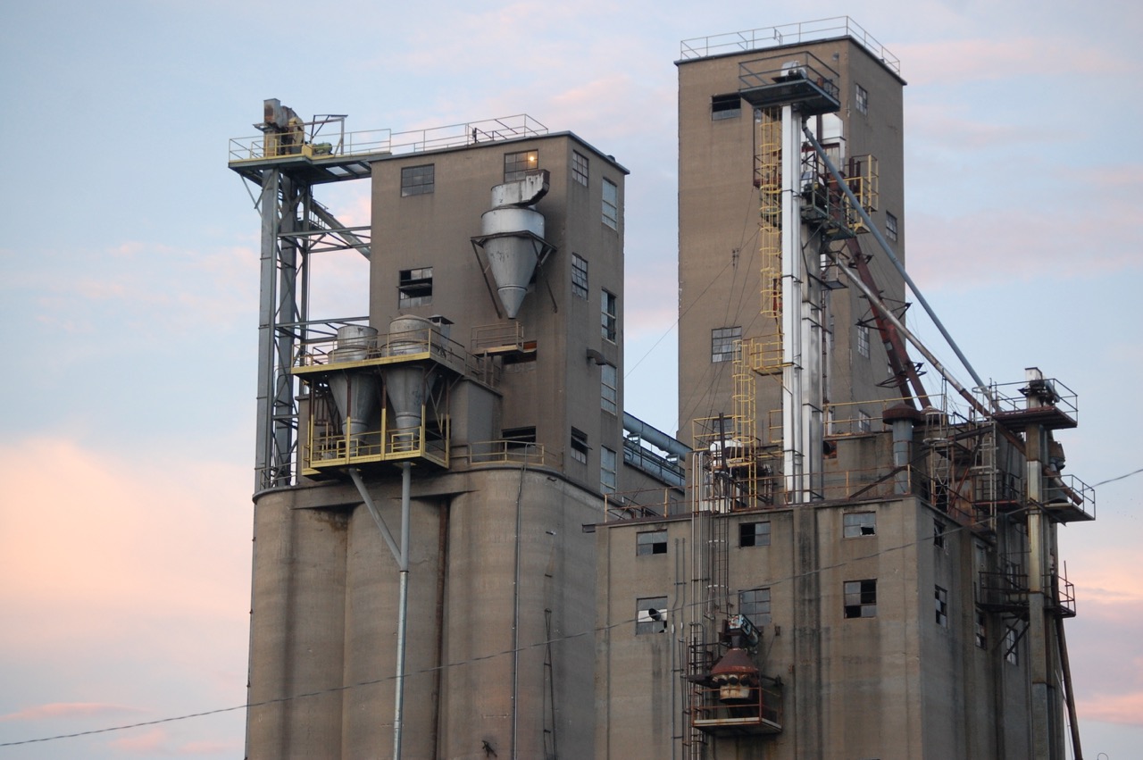
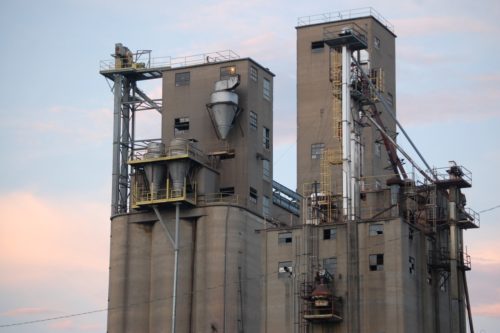
Rising above the murals, the silo itself has a powerful aesthetic presence. Its solid reinforced concrete walls, like those of the adjacent flood wall, are starkly utilitarian. The simplicity of the tower contrasts with the filigree of metal pipes and the textured brick walls of the smaller warehouses that skirt its base. It is a rough piece of infrastructure, not a self-conscious piece of architecture, but this form of raw, industrial beauty is compelling. It is no wonder that grain silos were a focus of Precisionist painters like Charles Sheeler and Charles Demuth.
The Southern States Silo is monument in its own right, and a symbol of Central Virginia’s agrarian roots. It has become an essential element of the character of Manchester.
DOK
1.
“Mayo Bridge 1952.” Richmond Times-Dispatch, 1952, www.richmond.com/mayo-bridge/article_d5fea048-c32a-552a-8ecd-56741cb8fb90.html.

7 Comments
Yes, I always enjoy viewing the silo. Reminds me of Home.
Yes. To me it is a historical landmark that should be preserved, not torn down to be replaced by what….some meanigless new residential high rise?
The silos have recently been defaced by graffiti up on some of the higher levels, no doubt because it is so visible from I-95 and 14th Street. I fear that so-called urban street art and murals are making this acceptable and that efforts to remove proliferating graffiti are waning. Who owns the property now and are there any concrete plans to clean it up or develop the property? It’s a shame industrial buildings stood for over a century unblemished, and in the last decade or so are being defaced at an alarming rate. The old gas works off Williamsburg Road is a good example. I drove by the area for years and enjoyed the view. At some point in the past ten or so years, graffiti vandals took over and destroyed the place.
Calm down Karen is just graffiti on an abandoned building.
I’m looking for more history on this build both dark and normal . Things like work place accidents to just normal work conditions. But I can’t find anything
Anyone know how I can find photos of the inside?
I’m afraid I don’t know — but please let us know if you find them! Thank you. – Don O’Keefe, editor
Write a Comment
Posted
Share
Tags
agricultural • concrete • infrastructure • Manchester • Old Town Manchester • SouthsideMap